

Experts warn that erratic weather patterns can have devastating effects on crops.
A few pre-monsoon showers are not uncommon in Telangana, with the State getting some six days of summer rainfall. However, weather specialists say it has been unusually high this summer.
According to the Telangana State Planning Development Society (TSDPS), which aids the government with weather monitoring and disaster management support activities, the State normally receives about 48.7 mm of rainfall in March, April, and May. Telangana received 163.4 mm during the summer of 2023.
More than the higher-than-normal summer rain, it is the erratic weather events that are of concern. Telangana cumulatively recorded 1,388.8 mm rainfall in one year between June 1, 2022, and May 31, 2023, a 53 per cent deviation from the normal, say TSDPS reports. A “large excess” of more than 60 per cent “normal” rain was observed in 15 districts in the same period. Another 16 districts recorded 20 per cent to 60 per cent deviation from the normal rain.
Also Read | When visitors vanish
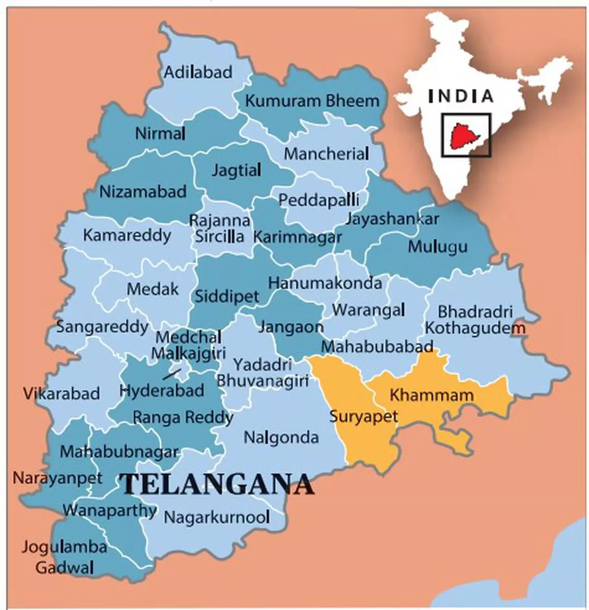
Only Khammam recorded a cumulative “normal” rain. However, the district saw several erratic, heavy rainfall days in 2022 and 2023. Officials have documented over 23,000 acres of crop damage from rain in the district from March 17 to 21.
“Weather and Climatology of Telangana”, published by the TSDPS and the Directorate of Economics and Statistics in July 2022, includes rainfall data for 1951-2022. According to it, the number of heavy rainfall events in Telangana in five years (2017-2021) has been on the rise. From three “extremely heavy” rainfall events in 2017, Telangana recorded 25 in 2021. There were 54 “very heavy” rainfall events in 2017 and 281 in 2021. The trend has been that of increasing rain barring a few dry years, noted Y.V. Rama Rao, a TSDPS weather forecast consultant. He retired as Deputy Director General of the India Meteorological Department (IMD).
The report notes that “rise in heavy rainfall events is largely on account of Green House Gases (GHG)-induced warming, regional anthropogenic forcings such as from aerosols and changes in land-use from urbanisation which enhance the local convection in association with the favourable synoptic conditions leading to heavy rainfall.”
In order to link the weather events to climate change, we must study 20-30 years of data, said Rama Rao. However, there is a possibility of an increase in unusual weather events, he said.
Mahesh Palawat, the VP-Meteorology at Skymet Weather Services, says this could be an exception this year. “It is unusual, that is certain. If we see the data from the last decade, we can observe that erratic weather conditions are becoming a norm nowadays. Extreme weather activities are also on the rise. We can also observe a high frequency of western disturbances, the disturbed pattern of western disturbances and the weather systems,” he said.
Also Read | How is climate change impacting menstrual health in India?
The IMD and Skymet have slightly different forecasts for the upcoming monsoon. While Skymet says the forthcoming monsoon will be “below normal” with 94 per cent of LPA (long period average), the IMD forecast is that it will be a “normal rainfall” with 96 per cent of LPA.


COMMents
SHARE